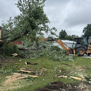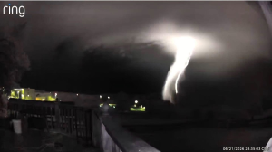
A lightning bolt illuminates what may be a developing tornado near Hawesville, late Sunday evening as seen looking south from a Ring camera in Tell City. The National Weather Service later confirmed an EFO tornado in Hancock County from 11:44 to 11:54 p.m. with peak winds of 85 mph, a 3.5-mile path and a maximum width of 100 yards, causing primarily tree damage along the Ohio River corridor with no injuries or deaths; it was one of 15 tornadoes confirmed from the June 21 storms. (Courtesy of Christopher Gilmore via Wayne Hart, chief meteorologist, ABC 25 Evansville)